WILLMAR, Minn. — The Minnesota Department of Transportation plans to carry out aerial photography work across southwest Minnesota this spring to support transportation planning and highway design.
The mapping effort will document existing infrastructure and surrounding landscapes along and near MnDOT right of way. Work is scheduled to begin in late March and continue through early May, weather permitting, and will take place after snowmelt but before trees fully leaf out.
Survey areas include multiple stretches of highways in the region, including portions of Highways 14, 15, 19, 30, 68, 71, 75, and 271, with locations spanning communities such as Lake Benton, Kingston, Ivanhoe, Redwood Falls, Dovray, Canby, Hendricks, and Willmar.
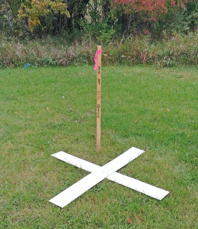
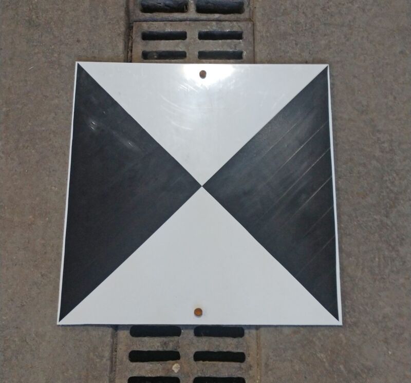
As part of the process, crews will place temporary white “X” targets on paved and unpaved surfaces to assist with aerial imaging accuracy. Survey teams will record the position and elevation of these markers before they are removed once the project is complete.
MnDOT officials are asking the public not to disturb the targets. Landowners with targets placed near their property will be contacted directly. Anyone needing to move a target is asked to contact MnDOT’s District 8 office in Willmar for assistance.
Below are images shared by MnDOT of the temporary “X” targets.